Recommendations for Exploring Hovenweep and Canyon of the Ancients National Monuments
By Courtney Johnson
Close to the 4 Corners where Arizona, Colorado, Utah and New Mexico meet, two national monuments offer abundant evidence and understanding of Ancestral Puebloan culture. While Mesa Verde National Park draws the largest numbers of visitors to the area, nearby Hovenweep National Monument and Canyon of the Ancients National Monument both offer intimate views of Ancestra Puebloan day-to-day life.
An estimated 30,000-45,000 visitors a year make their way to both monuments. Neither has an entrance fee or requires reservations to tour or view the dwellings. The isolation one finds on some of the trails means you are often walking through a profound history on your own. (The less structured environment is a compelling reason on its own for a visit.) Below are some of my personal recommendations for making the most of your visit to these two monuments, from trails to accommodations.
Hovenweep National Monument, photo by Courtney Johnson.
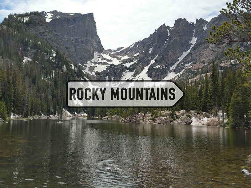
Hovenweep
Situated in southeast Utah and southwestern Colorado, Hovenweep National Monument is on the Cajon Mesa, where generations of life, from Nomadic Hunters to the Puebloans, have occurrred. Hovenweep was declared a national monument by President Warren G. Harding on March 2nd, 1923. An estimated 2,500 Puebloans once inhabited the area. It was designated as an International Dark Sky Park in July 2014. Hovenweep is celebrating its 100-year anniversary in 2023 with special programs all year long. “100 years of park, thousands more of culture,” is the anniversary motto.
Hovenweep is the Ute/Paiute word for "deserted valley." Amongst the 784 acres of the monument, the name still rings true today with the rugged, natural and isolated trails. Evidence of civilizations' past can be found throughout, from check dams to the six village groups and kiva. I recommend setting aside at least a day to two days for a proper visit. Be prepared for some driving to be able to see all the monument has to offer.
Trail Recommendations
Begin your visit with a trip to the visitor center for directions, especially if you want to visit any of the outlying sites, like the Holly Group. GPS is unreliable (we learned the hard way), and the roads to outlying sites are not paved, high clearance, and rugged in spots. Wooden signs featuring a bird are some of the common navigational tools used in the monument. Be sure to pick up a Junior Ranger book if you have kids in tow.
If you only have time for one hike, the most bang for your buck is also the monument’s most accessible trail. This is the two-mile self-guided Square Tower Group Loop Trail, located next to the campground and visitor center. Grab a guide to help you identify and learn more about the structures, from the Hovenweep Castle to Twin Towers. The trail is rugged in spots and requires climbing and descending stairs.

Hovenweep National Monument, photo by Courtney Johnson.
If you aren’t short on time, take the easy to moderate seven-mile hike out and back to the Holly Group through the Keely Canyon wash. This hike begins at the campground, and is a desert hike with little shade. Fill up your water before heading out. There are two short slots to hike through while ancient structural remnants can be seen about two miles into the hike. A small offshoot near the Holly group is the Holly Sun Panel, a petroglyph panel that archeologists believe marks the summer solstice. The Holly Group contains many sites, from the Holly House to Tilted Tower. You can also drive about 4 miles from the visitor center (about a 45 minute trip) on a high clearance road and hike .44 miles roundtrip to the sites and back.
Another option is to combine a visit to the Horseshoe and Hackberry units in Hackberry Canyon off County Road 10, an unimproved BLM road. This requires a high-clearance vehicle. The trails are short (0.64 mile roundtrip) to just Horseshoe and (1.5 miles roundtrip) for the full trail to Hackberry and back. The Horseshoe House contains a kiva-like room, and Horseshoe Tower is also seen on this hike. While Hackberry has the least standing structures, it was the largest Pueblan village. It contains the most evidence of life on the monument land from check dams and piles of rubble where many structures once stood. Keep in mind this is primitive canyon hiking with uneven terrain and rocks. There are no services out at these units.
A visit to the Cajon Group requires travel on a very primitive road that is not maintained in the last section. The structures along the Cajon Mesa are the most preserved of all the group sites within the monument. It is a .2-mile roundtrip hike to this small group. Currently, Cutthroat Castle is closed to the public due to a private property land dispute.
Where to Stay
If you don’t want to camp at one of the 31 campsites at the monument, Bluff, Utah is one of the towns within less than an hour's drive from Hovenweep. I recommend staying at the Bluff Dwellings Resort and Spa for canyon views. There is good food on site, and a pool and hot tub that take advantage of the scenery. There are also options in Cortez, Colorado (about 55 minutes) for lodging. We enjoyed glamping at Juniper’s Tent with views of Sleeping Ute. The Wily Carrot in Mancos is also a great place to glamp.
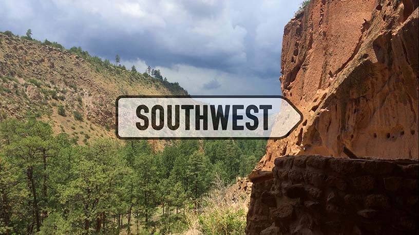
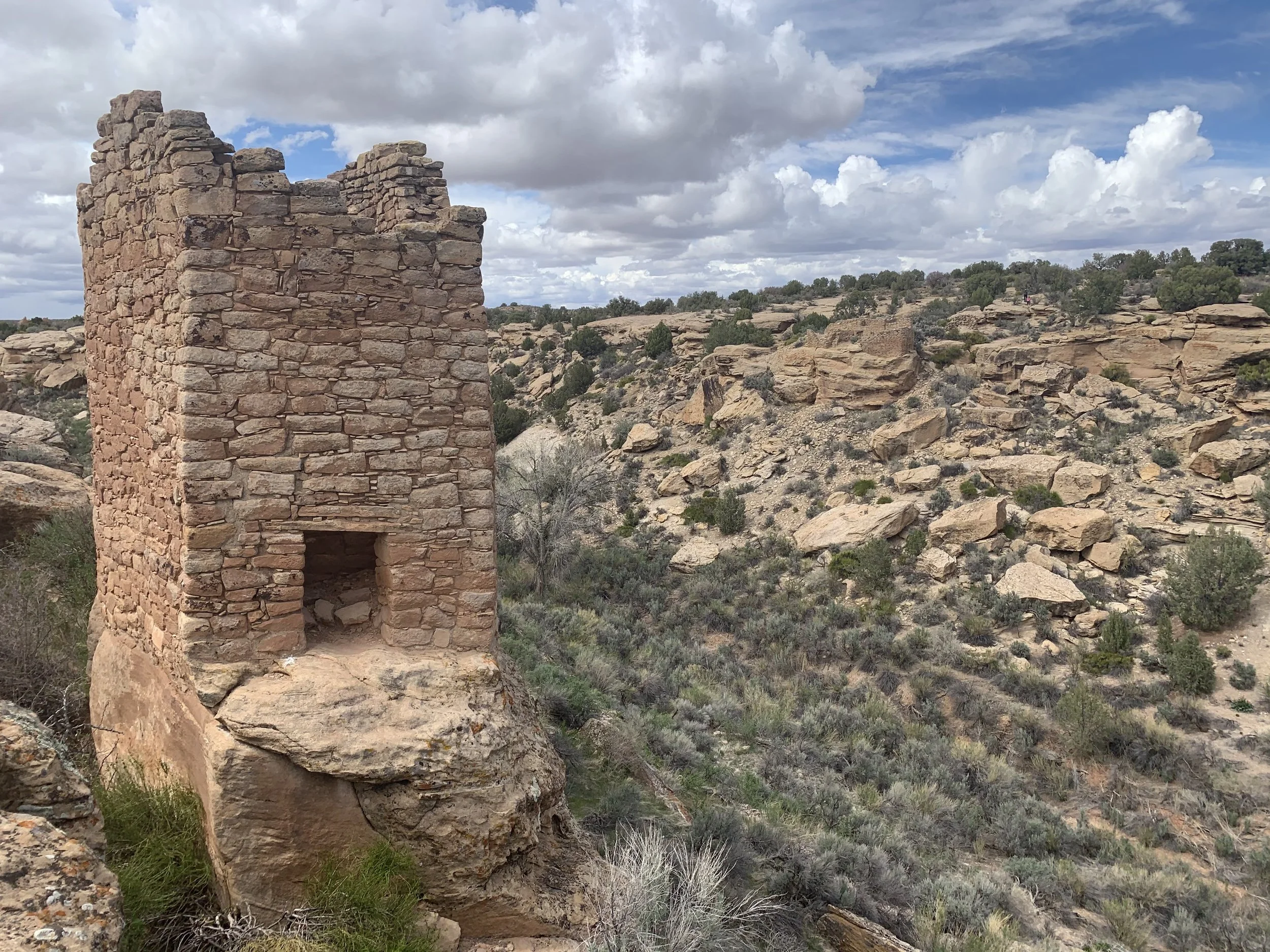
Canyon of the Ancients
Canyon of the Ancients National Monument in southwest Colorado was designated by President Bill Clinton on June 9, 2000 to protect the sites and artifacts of the Ancestral Puebloan and historic cultures in the Four Corners region. Encompassing 176,000 acres, most of the 8,300 recorded sites are not open to the public for safety and preservation. The land encompassing the Canyon of the Ancients contains the highest known density of archeological sites in the United States. In fact, an estimated 30,000-plus sites are believed to remain undiscovered within the monument land.

Canyon of the Ancients National Monument, photo by Courtney Johnson.
The rugged landscape in the Canyon of the Ancients is open to hikers, backpackers, horseback riders, mountain bikers and leashed dogs. About 80% of the land within the monument is used for oil and gas and CO2 production while still protecting the archeological sites.
Trail Recommendations
Depending on time and outdoor activity level, I recommend a day or two to explore Canyon of the Ancients. Be prepared for some driving to be able to see all the monument has to offer.
The Canyon of the Ancients Heritage Museum (formerly the Anazasi Heritage Center) is the best place to start. A wonderful museum is full of artifacts and detailed history of life on the land. While the monument is free to visit, there is a $3 charge for the museum. Grab a map and check on current road and trail conditions. Fill up on water and do anything you need to before setting out, as most of the trails have little to no cell phone service. Young visitors can also earn a Junior Ranger badge; be sure to download the free app Agents of Discovery for another challenge while visiting the monument with kid explorers.
If you have only ½ a day or so, start at the museum and visit the Lowry Pueblo.

Canyon of the Ancients National Monument, photo by Courtney Johnson.
If you have younger or older explorers in your group, this is the best trail, as it’s the only one that’s developed. There are eight kivas and a grand kiva at this site, alone along with 40 rooms kept in place by stabilizing walls. The hike is about ½ mile long depending on how much exploring you do along the way.
To visit the Painted Hand Pueblo, you must drive on a rocky dirt road. The hike is between .7 to 1 mile depending on your route, and is primitive, featuring switchbacks. A standing tower and pueblo and a pictograph of hands are the highlights of this hike. I recommend this hike for its serenity and for an up-close look at non-excavated sites.
Sand Canyon is the longest hike in the monument and will require a full day to hike. A difficult 12.4 mile out and back, it’s true desert hiking with no access to water and relatively no shade. Start early and bring plenty of water and food to fuel you for the day. This hike is one of our favorites because you most likely will see very few others and enjoy a self-guided tour of the canyon. Several pueblos, including the Sand Canyon Pueblo, which contains 420 rooms, 100 kivas, and 14 towers, can be seen along this trail or via short offshoots.
One great thing about this hike is that you do not have to hike the full trail to see plenty of history. This trail is popular for backpackers who disperse camp along the way. My recommendation is to start at Lower Sand Canyon. If you want just to see the Sand Canyon Pueblo, start at Upper Sand Canyon for a short hike out and back.
A shorter and easier trail in Sand Canyon is the Rock Creek Loop. This moderate 6.4-mile trail is a favorite of mountain bikers to get out and stretch the legs. Views are abundant on this trail, but there is not the same concentration of sites and pueblos along this trail as the Sand Canyon Trail.
Where to Stay
Dispersed camping is allowed within the monument for backcountry backpackers. Camping is also available in many other places including Mancos State Park. We enjoyed glamping at Juniper’s Tent with views of Sleeping Ute in Cortez. The Wily Carrot in Mancos is also a great place to glamp. Although I don’t have experience with the Ancient Echos at Kelly Place or the Canyon of the Ancients Guest Ranch, but these places have come recommended by others. There are many hotel and motel options in Mancos and Cortez as well.

Courtney Johnson is a freelance sports and parenting writer based in Erie, Colorado. She enjoys spending time outdoors with her husband AJ and daughter Emma. Follow her adventures at http://adventureswithmylittleray.com.
Other popular Parks & Points posts: